

Lot n° 135
Estimation :
60 - 80
EUR
Joan Blaeu (1596 1673), after Sébastien de Beaulieu Plan of - Lot 135
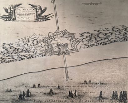
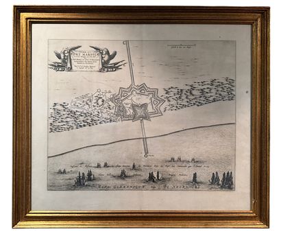
Joan Blaeu (1596 1673), after Sébastien de Beaulieu Plan of Fort Mardick and its attacks in 1646
Cartographic engraving depicting the siege and attacks on Fort Mardyck (Nord, France) in 1646 by the troops of His Royal Highness the Duc d'Orléans, Generalissimo of the armies of the King of France.
Military plan by Sébastien de Beaulieu, engineer and geographer to the King, depicted in bird's-eye view with details of fortifications, coastline and attack positions.
Map published by Joan Blaeu in 1652.
The complete page of the map is framed under glass; the original central fold of the book is visible in the middle of the engraving.
Frame size: 61x70cm
Frame showing some dents. Age marks and stains on the engraving.
Internal ref : MA9EJ
My orders
Sale information
Sales conditions
Return to catalogue